Aerial Photography
How I Did It - My Airplane
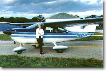
Me with my Airplane - N177MB
N177MB is a 4 place single engine Cessna Cardinal with a 180hp Lycoming engine.
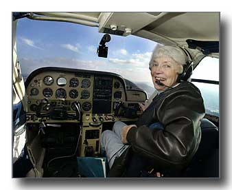
It is fully equipped with an IFR approved GPS navigational system. I also used an iPad Mini in the plane running a program
called ForeFlight which among other capabilities shows live weather and tracks the plane's path in real time.
I could also see other airplane traffic in most of the areas in which
I flew, which is a great safety feature. My range was 5 hours between fuel stops at 135 mph.
I flew my plane over 7000 hours on photo assignments all over the country.
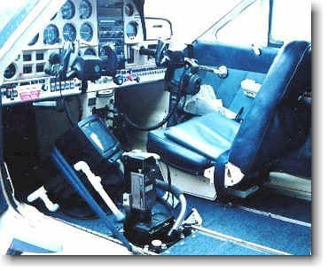
All of my aerial photos were taken either from the specially constructed opening side window for obliques or through the camera port I had installed in its floor for verticals as shown here.
Here is how it looked in the air on a photo mission.
Here are some of the Famous Places where I have taken aerial photos

Statue of Liberty
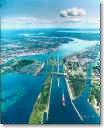
Soo Locks

Sedona, AZ
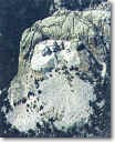
Mt. Rushmore
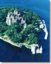
Boldt Castle
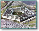
Pentagon
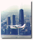
Chicago Skyline
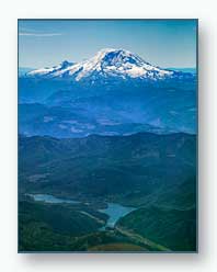
Mt. Ranier
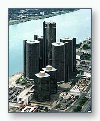
Renaissance Center
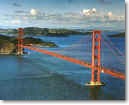
Golden Gate Bridge